GET UPDATES IN YOUR INBOX! Subscribe to our SPAM-free updates here:

GET UPDATES IN YOUR INBOX! Subscribe to our SPAM-free email here:

Delivered by FeedBurner

Showing posts with label Bernard Ratzer. Show all posts

Wednesday, September 12, 2018

Postcard Thursday: The Death of General Wolfe

The Death of General Wolfe by Benjamin West.

On September 13, 1759, Major-General James Wolfe died during the Siege of Quebec in the French and Indian War (aka the Seven Years War). Wolfe's heroic victory won the war for Britain, allowing it to seize most of Atlantic Canada, and made Wolfe both a martyr to the cause and an instant celebrity.

The most famous commemoration of Wolfe's death on the Plains of Abraham is Benjamin West's painting (above), now in the National Gallery of Canada. But New York had its own memorial to General Wolfe, an obelisk that was erected in Greenwich Village at the end of what came to be known as "Obelisk Lane" or "Monument Lane."

The General Wolfe monument at Stowe.

Very little is known about the memorial. Some think that it was based on a similar obelisk erected in Stowe in Buckinghamshire, England, by Lord Temple, which still stands today. But this is just speculation. Indeed, if it weren't for a few old memoirs and a couple of maps, we wouldn't know that the monument existed at all.

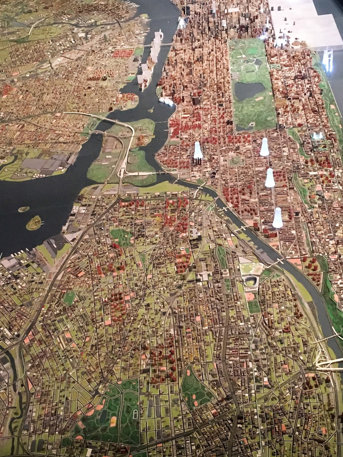
Montressor Map, ca. 1765-1766.

The obelisk was likely erected soon after Wolfe's death, probably in 1762 by Robert Monckton. Monckton was Wolfe's second in command at Quebec and in 1762 he became royal governor of the Province of New York. He lived in Greenwich Village, in a house owned by Admiral Peter Warren, which stood only a few minutes walk from the monument.

The obelisk appears on the Montressor map of 1765-66, where a "Road to the Obelisk" leads to a spot just east of Oliver De Lancey's farm marked "Obelisk Erected to the Memory of General Wolf [sic] and Others."

The Ratzer Plan, ca. 1766-77
The Ratzer Plan of the city -- issued in 1766 or 1777 -- shows a similar road, calling it "The Monument Lane." If you are familiar with this part of Greenwich VIllage, that lane is now Greenwich Avenue, which runs northwest from Sixth Avenue just south of Christopher Street. However, many other small streets in the Village were once considered part of the lane. As the American Scenic and Historic Preservation Society wrote in their annual report of 1914:
Monument Lane began at the present Fourth Avenue and Astor Place and ran westward along the present Astor Place; thence to Washington Square North about 100 feet west of Fifth Avenue, where it crossed a brook called at various times Minetta Brook, Bestevaer's Kill, etc.; thence to the present Sixth Avenue and Greenwich Lane; thence along the present Greenwich Lane to Eighth Avenue between Thirteenth and Fourteenth Streets, where it intersected the now obsolete Southampton Road; thence northward about 150 or 200 feet farther, where it terminated at the Monument.
Tracing those roads today, it seems likely that the road probably incorporated what today is Washington Mews and MacDougal Alley, just north of Washington Square, roads that have long been thought to be Native American trails. Indeed, it would not be at all surprising to discover that all of Monument Lane existed long before Europeans settled the area that would come to be known as Greenwich Village.

No one is entirely sure when the monument to General Wolfe was taken down and by whom, but by the time the next map of Manhattan was drawn, ca. 1773, the monument is gone and references to Monument Lane disappear soon thereafter. Some speculate that Oliver De Lancey, a loyalist, destroyed the monument when his lands were confiscated by the Americans after the war, but it seems more likely that the obelisk was already long gone by that time.

(This post was adapted and updated from an earlier blog entry.)


* * *

Want to hear more about NYC history?

Inside the Apple has recently been released for the first time as an audio book!

Visit Amazon or Audible to download today


Thursday, January 11, 2018

Postcard Thursday: Skyrise for Harlem

Skyrise for Harlem; Esquire magazine, April 1965
There's a terrific exhibit at the Queens Museum called "Never Built New York," that features dozens of plans for unbuilt architecture that would have remade the city. (The show only runs through February 18, so catch it while you can.)

When we were visiting the show in October, we were struck by the plan from 1965 to tear down much of Harlem and replace it with giant, 100-story towers (seen above). James researched the subject further and his essay on "Skyrise for Harlem" appeared yesterday in Curbed NY. The story not only outlines the plan -- which architect Buckminster Fuller created with writer June Jordan -- but also looks at how Harlem real estate transformed during the late 19th and early 20th centuries.

You can read the story here: https://ny.curbed.com/2018/1/10/16868494/harlem-history-buckminster-fuller-development-rezoning.

From the ARCH/CAEHT plan for the East Harlem Triangle redevelopment; from the Louisiana State University archives

Fuller and Jordan weren't the only planners who were trying to figure out how to improve housing conditions in Harlem in the 1960s. The drawing above is from the Architects’ Renewal Committee in Harlem's suggested plan for the rezoning of the East Harlem Triangle. As James notes in his article:
In 1964, the Architects’ Renewal Committee in Harlem (ARCH) was founded to serve, in the words of architectural historian Brian D. Goldstein, as a “community design center” but then transformed—as the influence of black nationalism became more prominent in Harlem’s political life—into a way to “resist and revise official urban development plans".... Take, for example, the ARCH proposal for the East Harlem Triangle redevelopment.... The city’s plan was to turn the area—the triangle bounded by Madison Avenue, 125th Street, and the Harlem River—into an industrial zone. Pushback from the newly formed Community Association of the East Harlem Triangle (CAEHT) convinced the city to consider alternate proposals. Working with CAEHT, the planners at ARCH, led by its director, African-American architect J. Max Bond Jr., produced a plan that would not only radically transform the East Harlem Triangle, but would create a “distinctively black and democratic urban space.” 
As opposed to “Skyrise for Harlem,” the East Harlem Triangle plan advocated the preservation of newer townhouses and tenements, while new construction would preserve “positive features of the present living patterns".... On a reconfigured 125th Street, most of the traffic is eliminated in favor of wide sidewalks and tree-lined medians with bench seating. Typical examples from the urban planning wishlist are present, like a dedicated lane for bus traffic, while very specific symbols of Harlem abound: the bus boasts an ad for Muhammad Speaks, the newspaper of the Nation of Islam. A man in a dashiki stands in the median, while a woman on the sidewalk raises a black power salute.
The Queens Museum panorama, with some of the Fuller/Jordan Skyrise towers superimposed over Harlem

* * *
Speaking of Curbed, three of James's pieces were singled out for the "Best of 2017" lists for both the local and national sites this year:

Thursday, May 25, 2017

Postcard Thursday: The Ratzer Map


250 years ago, Lieutenant Bernard Ratzer set off across Manhattan and Brooklyn to make the first -- and still, in many ways, best -- comprehensive map of New York City.

A few months ago, James walked in Ratzer's footsteps, looking for traces of the city as it would have been two and half centuries ago. You can read the results in this piece he wrote for Curbed this week, "A Walking Tour of 1767 New York" (https://ny.curbed.com/2017/5/24/15681406/bernard-ratzer-map-new-york).

Speaking of walking tours, we'll be hosting a public tour on Sunday, June 25, so save the date. Details coming soon!


* * * *
Read more about NYC history in


Search This Blog

Blog Archive